But why isn’t Main St. in all caps?
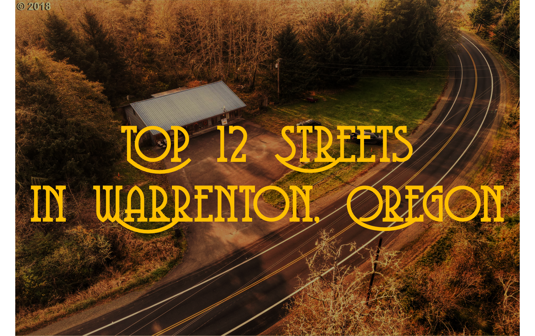
Thank you for selecting the Top 12 Streets in Warrenton, Oregon. Whether you’ve been click-baited, mislead through Facebook ads, voted for this topic, or are a devoted fan of Warrenton Warrior’s reflections on North Coast ways of life, you’re in for a real treat this week.
The Warrenton Warrior is the first to admit that Top 12 Streets might have been too ambitious to promote so aggressively. While the Warrior takes great pleasure in educating you on how North Coast residents live their lives, this pleasure is no match for his ignorance about modern-day Warrenton streets.
Complicating matters, Google has deemed Warrenton’s beautiful roads unworthy of its voyeur car-cam fleet’s attention. Aside from Main St. and Ridge Road, the brain-trust at Google Labs decided the general public is best left ignorant to your inner charms and delights. It’s almost like Google has a weird crush on you.
That’s a big blow to the Warrior’s vision for this investigation. Because, on the one hand, the Warrior congratulates you for staying under the radar. But on the other hand, he’s wicked upset that he had to do so much flippin’ research when he’s already busy with his own life. Without screen-grabs of Google Street view, the Warrior is just going on memory and internet gossip.
And to be frank, most streets here aren’t very interesting.
So let’s light up and get started.
12. Ridge Road
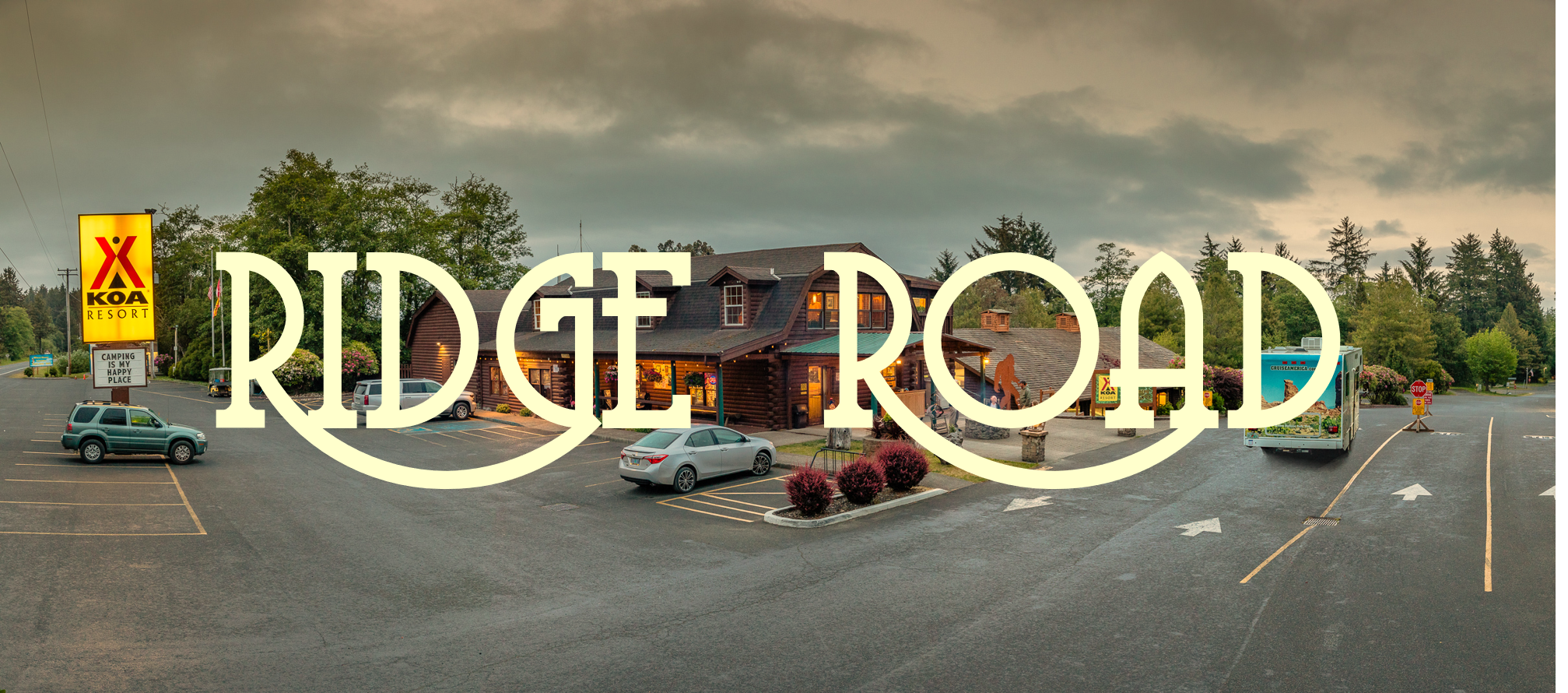
Ridge Road is best know as the “Gateway to Hammond” by locals in the know and as the road that takes you to Fort Stevens for everyone else.
Ridge Road is a great way to get across town if you are avoiding the law. There are few (if any) stop signs, a reasonable speed limit and few sharp turns. Basically, you’d have to drive like a complete lunatic to draw attention to yourself. Archeological looters frequent this road, keeping a low-profile, ferrying ancient Fort Stevens artifacts to high-rolling buyers in Portland.
Ridge Road is also known by very casual car-campers for its KOA, located strategically just above sea level and a few hundred meters from one entrance of Fort Stevens State Park. One of its cabins’ walls boasts a slightly sanded-down etching of the words, “NATURAL 97”, in recognition of the year of the night that the Warrior and a few East-County friends downed a couple of 24 packs of Natural Ice beer there and conducted a several-hour spree of mild-to-moderate tomfoolery throughout campgrounds. It wasn’t the Warrior’s proudest hour. But, at the same time, Natural ’97!
(Ed. Note: The Warrior has actually never heard of anyone referring to Astorians as “East County” people, but he encourages you to start using that term for anyone living East of Youngs Bay.)
11. Front Road
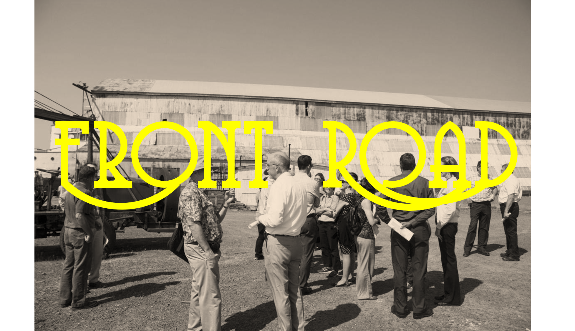
This small road, which flanks the western edge of an un-named penninsula between the Lewis and Clark River and Jeffers Slough, is the gateway to the world-famous Astoria Marine Construction Company (AMCCO) and is squarely within Warrenton and Astoria’s disputed territories.
AMCCO was initially built to construct U.S. naval vessels during the second World War and remained a vibrant dry-docking facility for the northern Oregon and southern Washington commercial fishing fleets for many decades later.
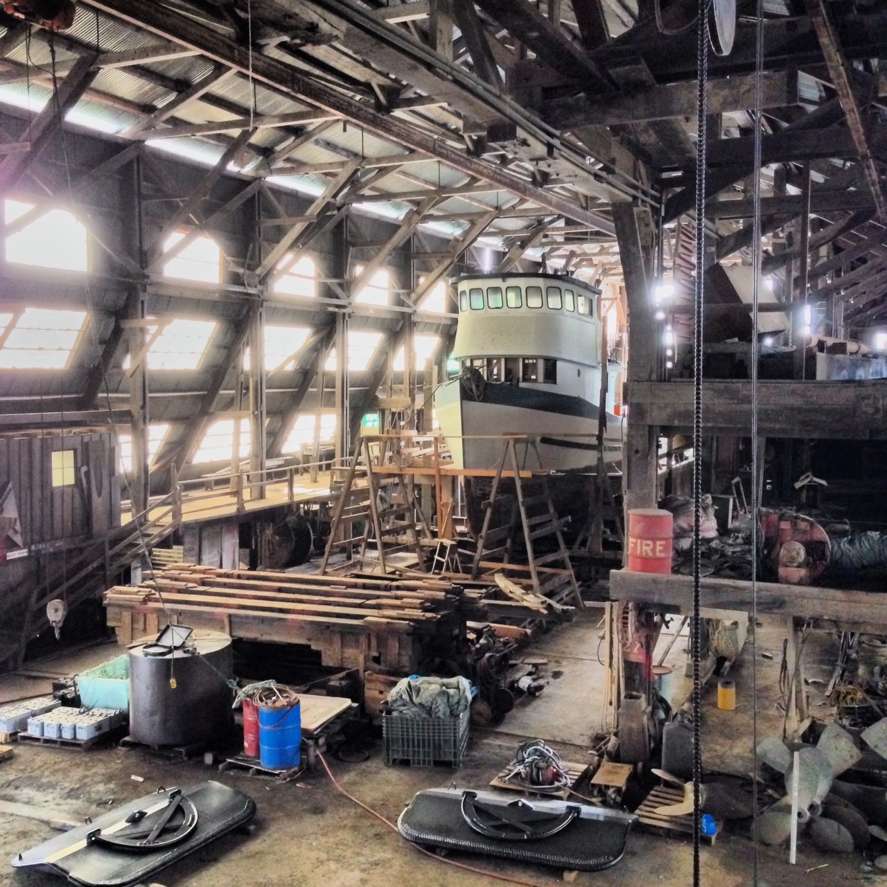
Unfortunately, Millennials have destroyed most of these fleets. The main buildings that used to house massive ocean-worthy vessels, now contain scattered half-empty cans of paint thinner and a thriving community of Western Screech Owls.
10. N.E. Heron Drive
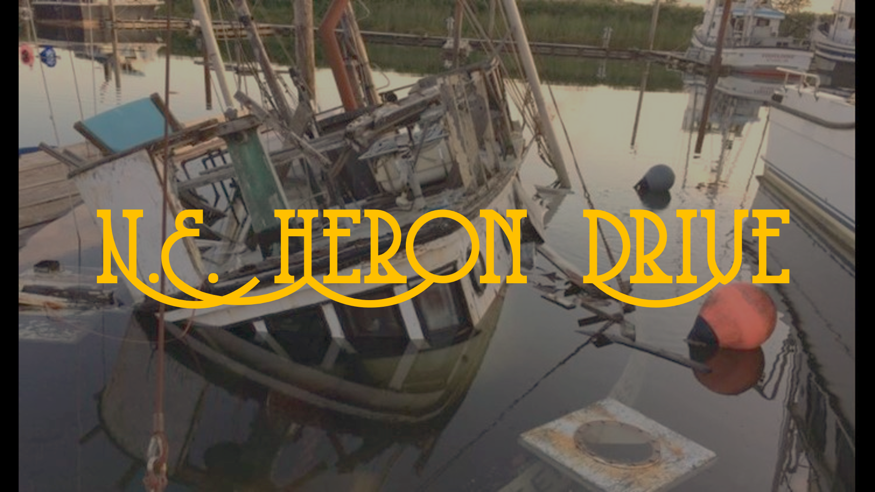
Also known as the gateway to the Warrenton Marina (FKA Warrenton Mooring Basin) this street offers many amenities.
First, there a sizable, paved section near the south entrance, that used to be used as a parking lot by deckhands while they were out at sea. But that was a long time ago, and most deck-hands have too many DUIs and are dropped off by their spouses or other familiars. Now the large empty lot is primarily used as a dumping ground for nets and trawling gear in various states of disrepair.
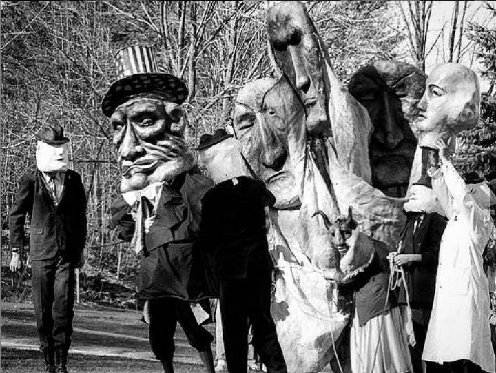
Another little known fact, the Warrior received a tip on Facebook that there are opium dens underneath adjacent NE Harbor Place. Given the topography of the two streets, the Warrior hypothesized that the actual entrance to these dens must be on Heron Drive. His investigative team conducted an extensive sweep of the area and, while they did not discover any opium dens, their archaeological digs did uncover several historical artifacts, including the original, 19th century Mini Mart and two 1960’s era likenesses of Chief Coboway and Daniel Knight Warren fashioned by the legendary Bread and Puppet theater.
These historically explosive digs are partially obscured by a giant tangle of old crab buoys and line. If you want to see these artifacts , head over there and dig around a little bit. It’s worth the effort.
9. S.W. Juniper Avenue
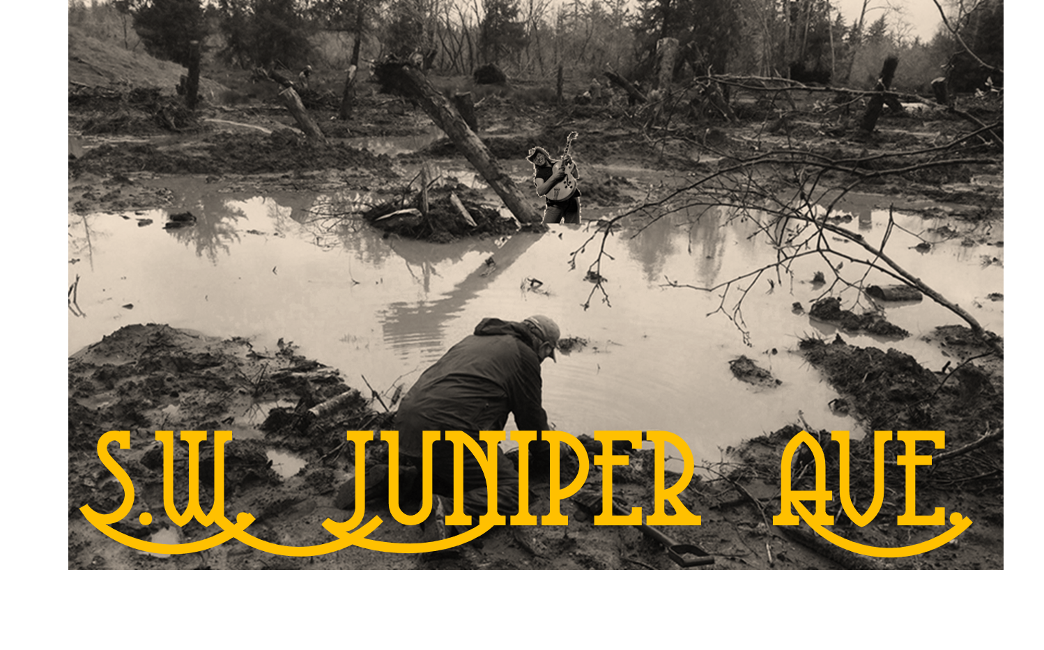
Also known as “the gateway to the geometric mean of Warrenton, Oregon” this street leads to the infamous “Clear Lake” which is either a lake or a very large, interdunal ditch, depending on who you talk to. The area is frequented by red-legged frogs and hosts numerous alders and Sitka Spruce, as well as the Warrenton Mayoral Mansion.
It also contains a wormhole through which Warrentonians can observe Ted Nugent at his ranch in Eastern Texas.

Scientists with the North Coast Land Conservancy (mistakenly) consider the Nuge and his wormhole to be an invasive species. Every few years, they excavate the precise Geometric Mean in hopes of removing the wormhole. All attempts have failed to-date.
Despite the NCLC’s best efforts, Ted Nugent continues to rock-on… albeit in his Texas ranch which which is only perceptible near the end of Juniper through a rift in space-time.
8. Delaura Beach Road
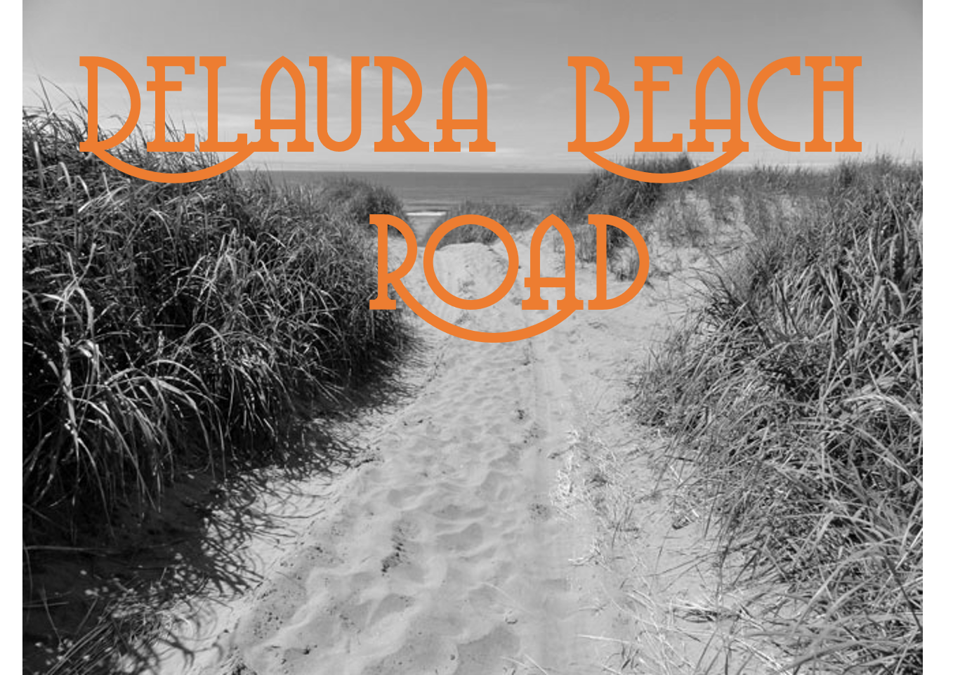
This beach-access road was inaccessible to low clearance and 2-wheel drive vehicles until a recent improvements were made using using funds from the 2009 federal stimulus bill. ODOT has added a paved road and battery charging stations at the end of the road. Those days of cars being stuck in dune sand or the occasional super high-tide are are a distant, impersonal memory.
So you no longer need to worry about taking your Tesla S out to the beach here. Warrenton’s got you covered.
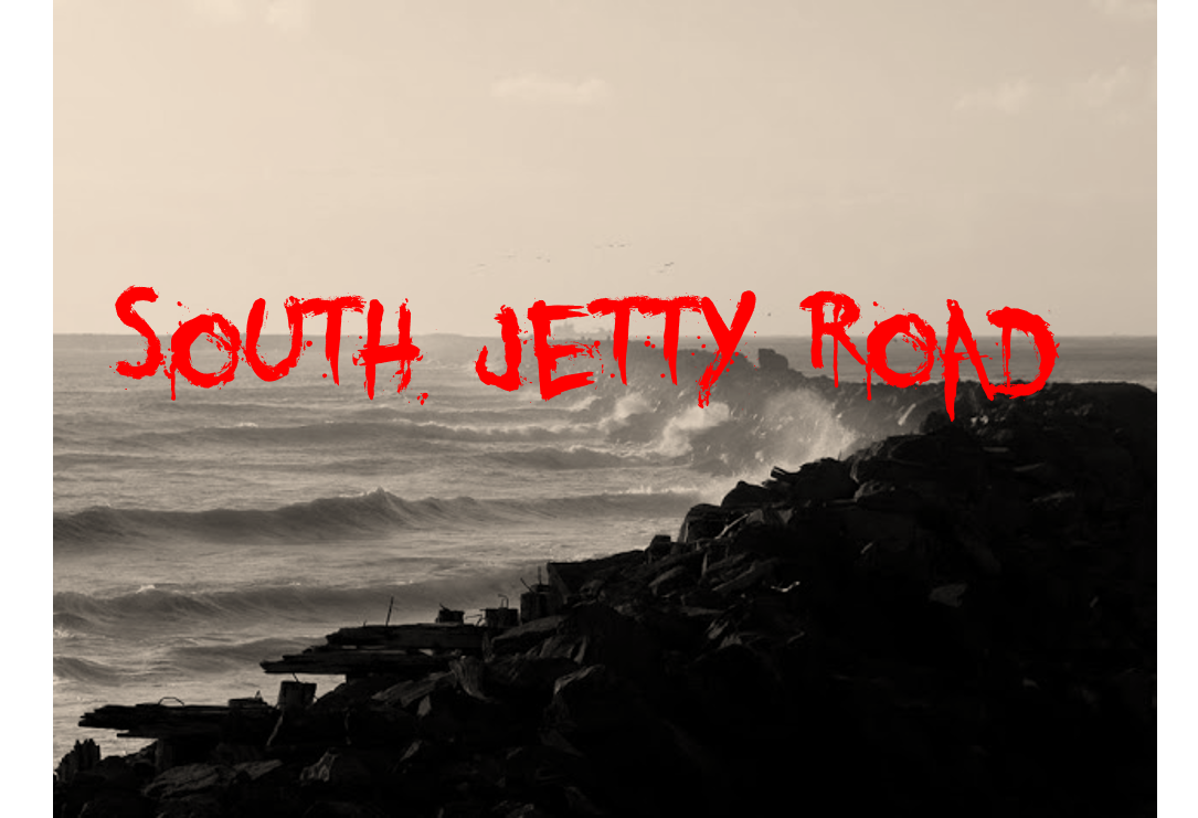
7. Jetty Road
Also known as Fury Road, this remote and high-speed street is where Pacific Seafoods executives settle corporate disagreements.
Unlike publicly traded companies, where shareholders can settle disputes transparently through proxy fights, Pacific Seafoods is family owned and resorts to more creative forms of problem solving.
When any executive at Pacific Seafoods disagrees with a decision made by their CEO or another executive, they can formerly issue a “Jetty Road Challenge”. In this challenge, which the challenged must accept, the two quarreling executives race their custom-built, apocalypse-ready vehicles from the south end of Jetty Road to the actual Jetty (known as “War Rigs”). The only rule is that whomever makes it to the Jetty first wins.
The Pacific Seafoods executives’s War Rigs are equipped with a host of features that provide a competitive business advantage, including swiveling harpoons, flame-throwers, belt-driven machine guns, and a variety of decorative steel spikes.
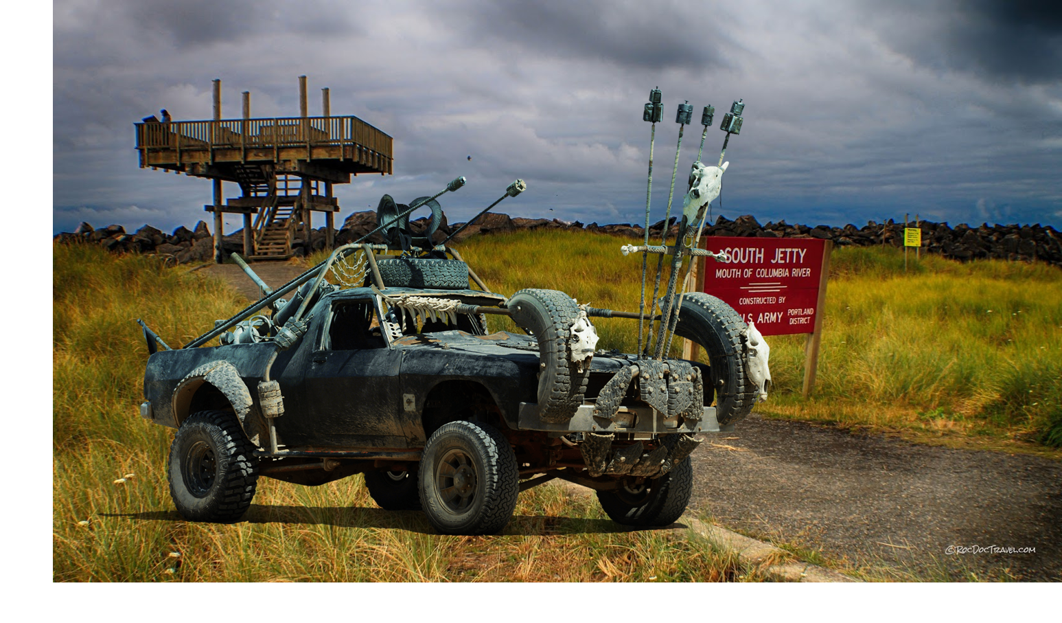
While the outcomes of these races are a closely-guarded, proprietary company secret, the CEO has been at the helm of the company for some time so we can only assume he’s an absolute beast behind the wheel.
6. 7th Ave in Hammond
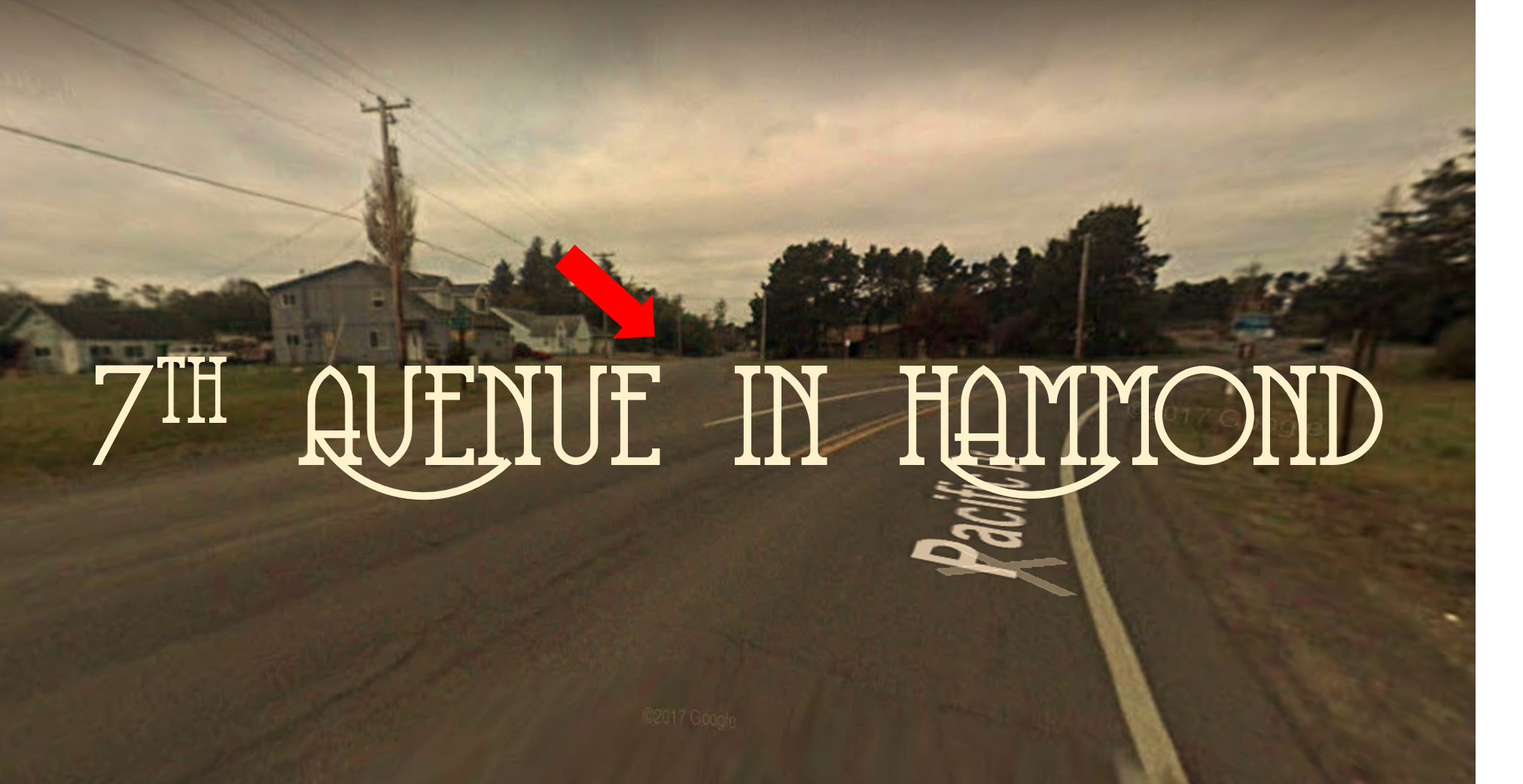
Are you someone who likes to “get to the point”? Do you ever feel like you’re the only one who’s actually focused on the task at hand? Do you hate “following the herd”?
If you answered yes to any of those questions, start taking this street now. Especially in the summer when the tourists who should have taken Ridge Road are cruising their RVs well-below the speed limit on Pacific Drive. Seventh Ave is a much more direct shot across Hammond and, unless you’re looking to hit up the pop-up Ramen bar at Point Adams Packing Co, you need to be on 7th. Get to know it. You’ll be glad you did.
5. S.E. Discovery Lane
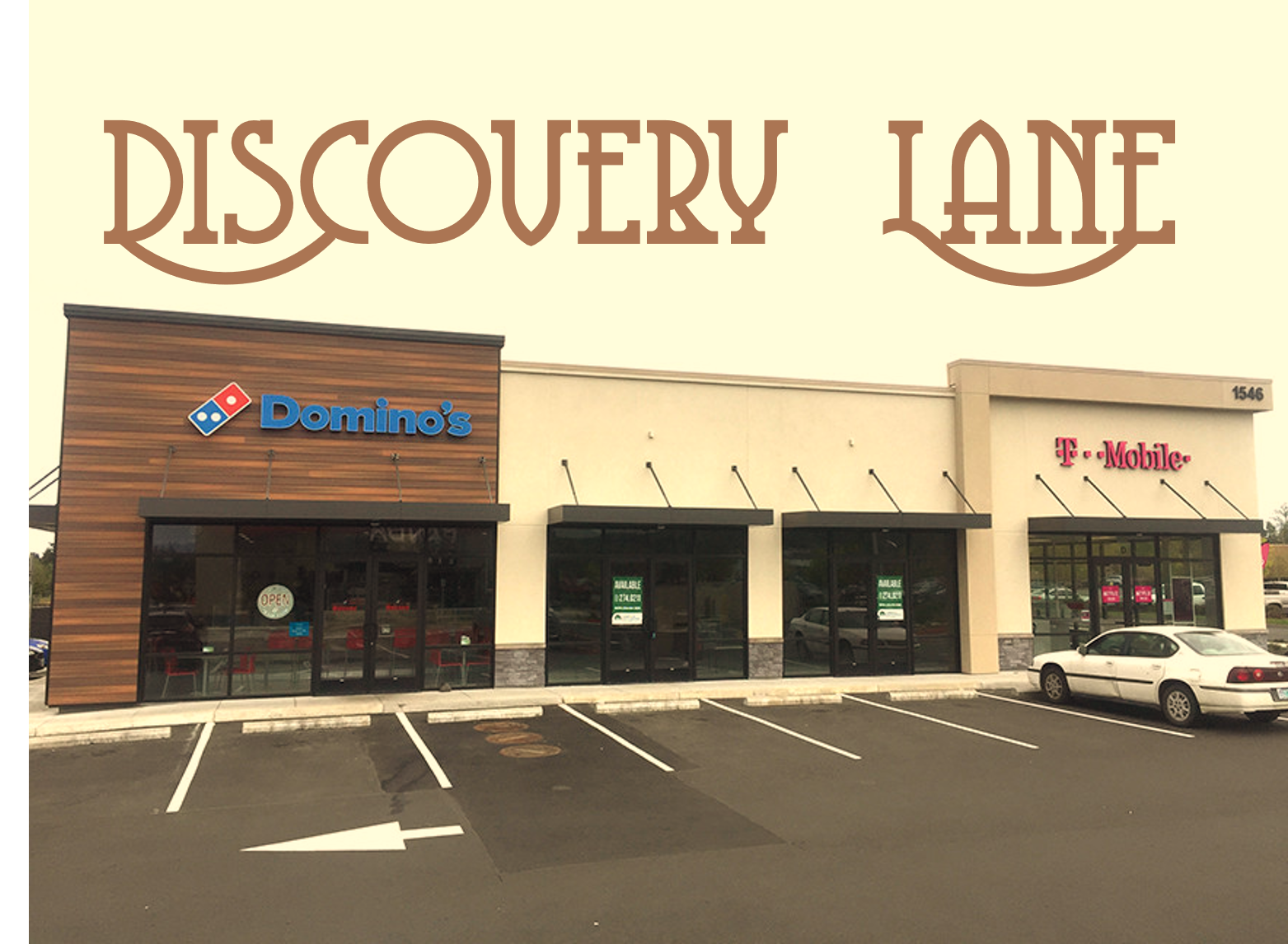
If you crave novel experiences that enrich your life and help you see the world in a new way, you’ll love this street.
Follow the foot steps of great explorers and sample worldly delights from Domino’s, Taco Bell and Panda Express. Express your freedom of choice by visiting either the T-Mobile, Sprint or Verizon stores. Test the boundaries of the possible with a visit to TJ Maxx or AutoZone.
You’ll never be the same again.
4. Warrenton Waterfront Scenic Road
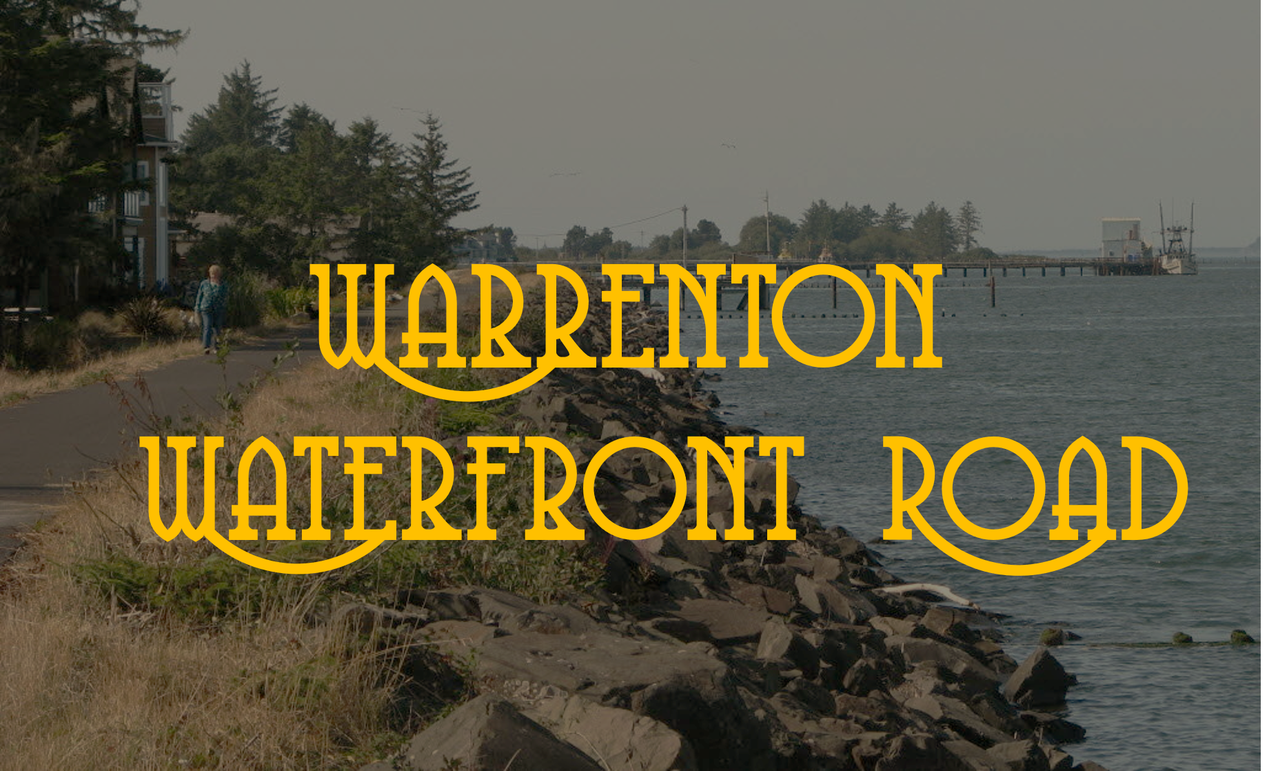
Formerly known as “the berm”, this road used to be an unpaved, worn down section of rocks between those condos on Heceta st. and Nygaard Logging. For generations, it served as a main thoroughfare for neighborhood kids who didn’t want to ride their bikes on the highway and a surprisingly large population of free-roaming dogs who were neither stray nor “indoor” pets.
But someone decided to pave it a couple of decades ago and now it serves as a walkway, bike path and scenic drive for tourists who want to take in the beauties and smells of Point Adams Packing Co., the Carruther’s Memorial Restroom, and BioProducts.
The best way to access this road is on Enterprise St., just before Point Adams Packing Co. when you are heading west. Simply drive to the end of the street and take a right onto the Warrenton Waterfront Road. If the gate is locked, you can drive up to the berm through the person’s yard on the left of the gate, between the gate and the basketball hoop there. The speed limit is 25 miles an hour, so watch yourself.
3. RW 8-26
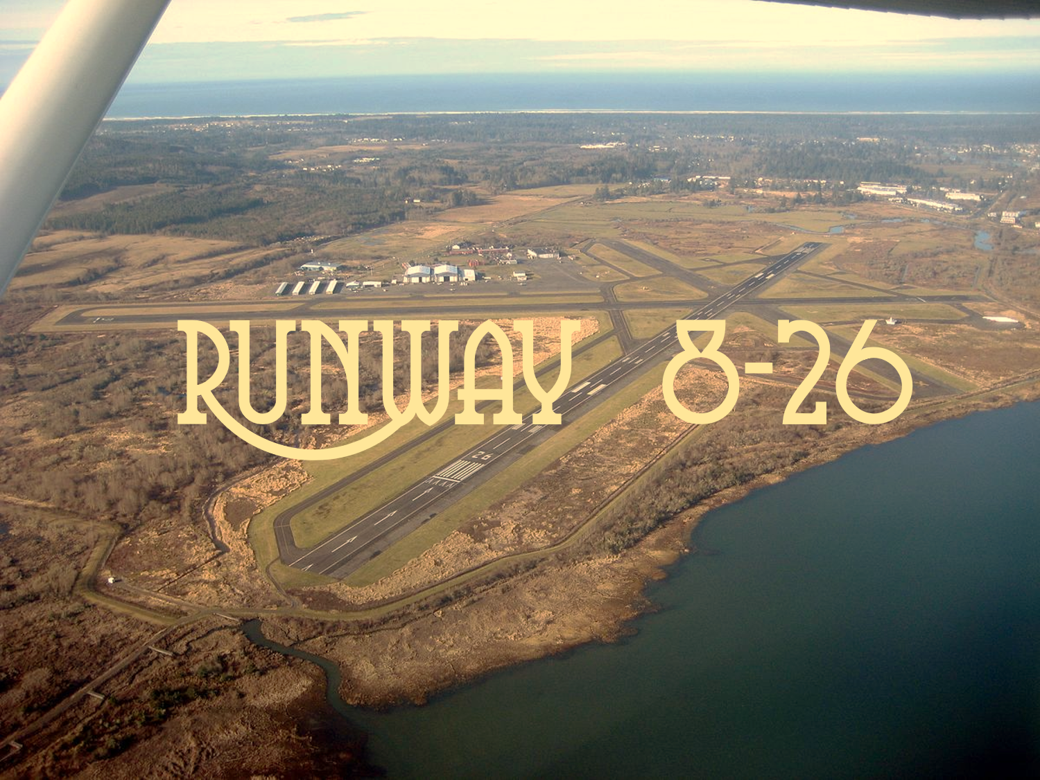
When the CEO’s of Domino’s, Panda Express, Yum! Brands, Costco, Verizon, T. Mobile, Sprint, etc. visit their flagship stores in Warrenton, Oregon, they land their Citation X jets on this exact runway. It’s just a great little stretch of road that welcomes American Business Leadership with open arms and makes a great first impression on them.
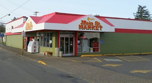
2. North Main Street
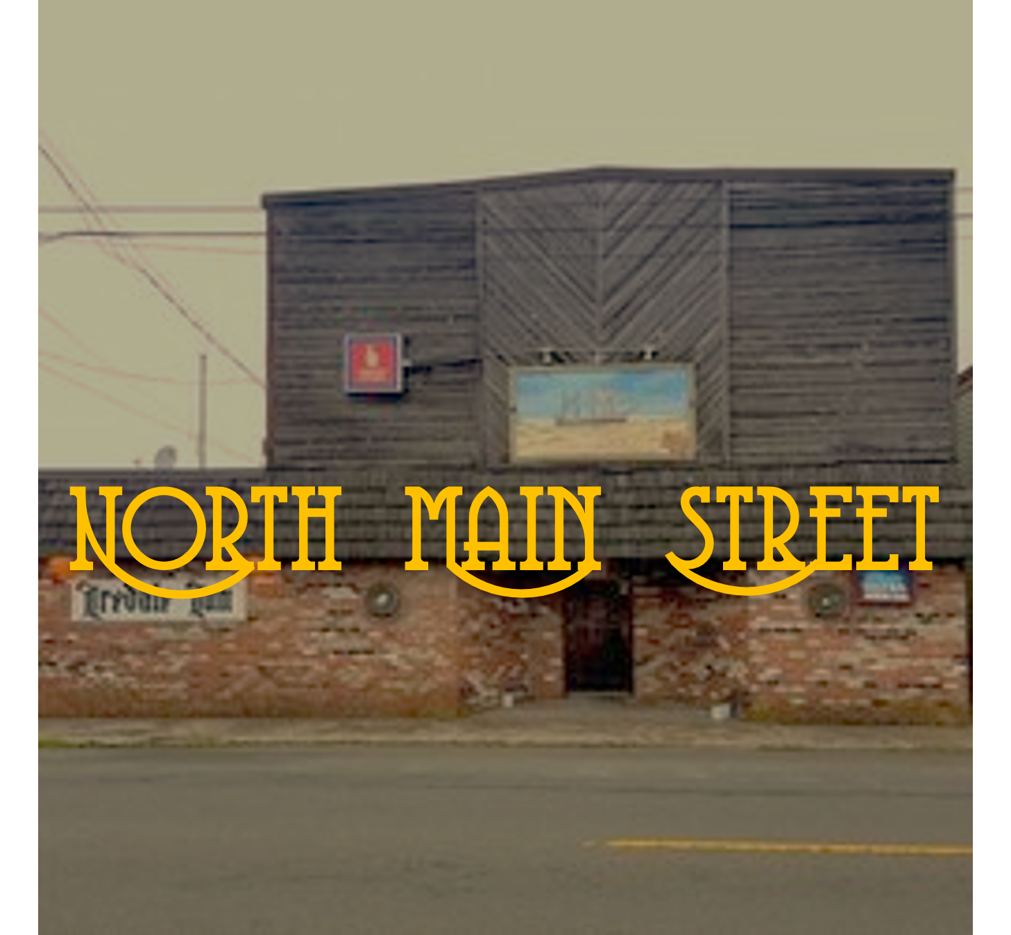
Widely considered the civic heart of Warrenton, this small stretch of main street guards the avenue’s northernmost gates and is home to iconic locations such as the Shell station, Fultanos, the Mini Mart, The Iredale Inn and Bar, a place called Compadre’s that came well after the Warrenton Warrior’s time, and Main Street Market (FKA ‘Da Boys’).
Guarding it’s northernmost gates is city hall, which is a small office in the rear of the Warrenton Post Office.
South Main St also has a new place called, “North Coast Shooter’s Supply”, which seems okay at first glance. But I guess there’s a reason it’s not called “sporting supply” or “hunting supply”. The store offers some creepy mass-shooter masks near the assault section wall. So, yeah. I guess if you see your disengaged teenage son going in here a lot, it’s probably time to have some straight talk with him. Just sayin’.
1. U.S. Highway 101
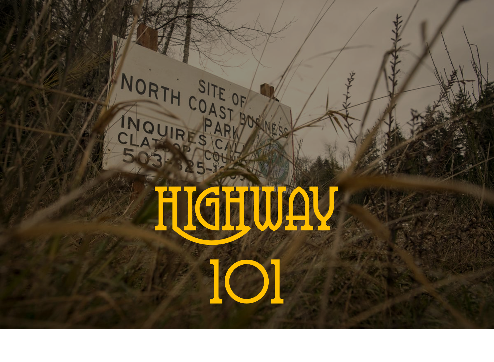
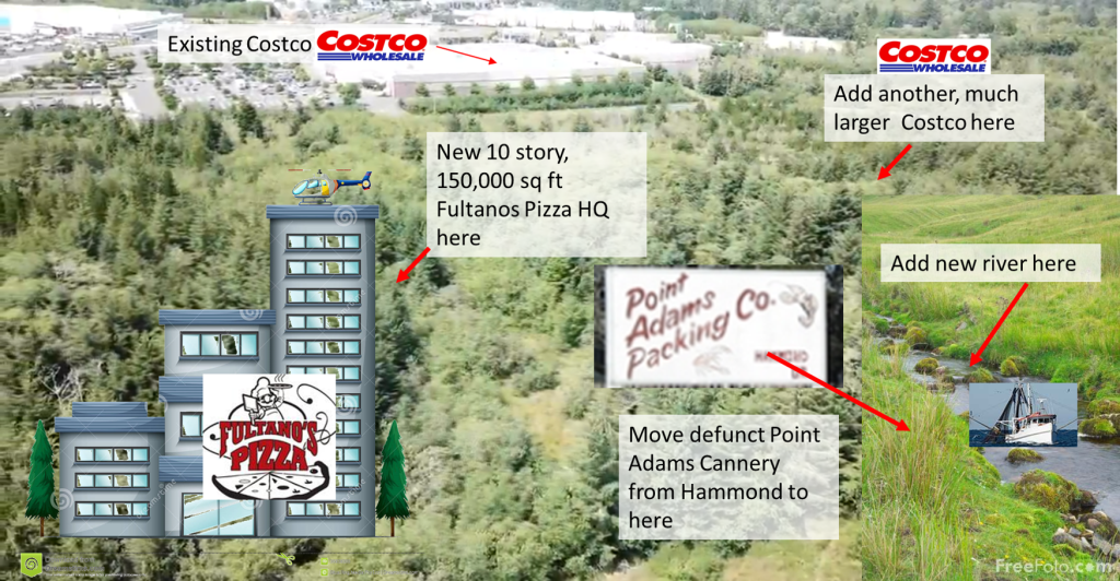
This is the economic heart of Warreton if not the entirety of Clatsop County. It boasts some of the largest brands in the U.S., the highest parking-lot square footage-to-resident ratio on the entire West Coast of the United States, as well as a seriously important economic development plan sponsored by the Warrenton Warrior (if you don’t already know by now, the plan includes a Fultano’s Pizza HQ, a second Costco across the street from the other Costco, a new ‘Skipanon 2.0’ river, and a re-located Point Adams Packing Co).
Unlike other parts of the Oregon Coast that have capitalized on its natural beauty, the Warrenton’s City Commission and, I guess by extension, local voters and business leaders, has boldly doubled down on what works best in any economy: large recognizable brands whose executives and shareholders live nowhere nearby, offering relatively commoditized and un-differentiated products and services.
Bonus points to the planning commission for all of the tax-breaks to bring these much needed services, economic diversity and high-paying ‘jobs’ to Warrenton. Because, hey, who needs locally-owned waterfront restaurants serving fresh local fare when you can eat a sad little crunchy “taco” topped with ice-berg lettuce while staring out across the highway at the new data centers?
There you go, buds. Top 12 roads in Warrenton, Oregon.
You’re welcome,
The Warrenton Warrior

I can’t believe you left out Whiskey Rd. The entrance (or the end) os across from the cemetary.
LikeLike
Hi Patty. It was under consideration. My best childhood friend in Warrenton used to live on Whiskey Lane, just off of Whiskey Road. Honestly, aside from Smith Lake being taken over by Lilly pads and slowly turning into wetlands instead of a lake, I couldn’t think of anything weird about it. Always struck me as one of the better places to live in Warrenton— especially if you’re right on the lake.
I’m sure it will come up another time.
LikeLike
As a “newbie” resident of the outer limits of Warrenton (but incorporated into the City because it needs my tax and “out-of-city-higher water rates payments) – I thought it appropriate when I saw that Whiskey Road ended at the gates of the Astoria cemetery!
LikeLike
Clear lake is a pristine lake and will remain that way under the nature conservancy. No faulty sewer systems will be allowed to ruin it , like what happened to smith lake. It’s a symbol of the warrenton I grew up loving
LikeLiked by 1 person